Travel
Snow moves out of NYC and D.C., as white Christmas remains unlikely

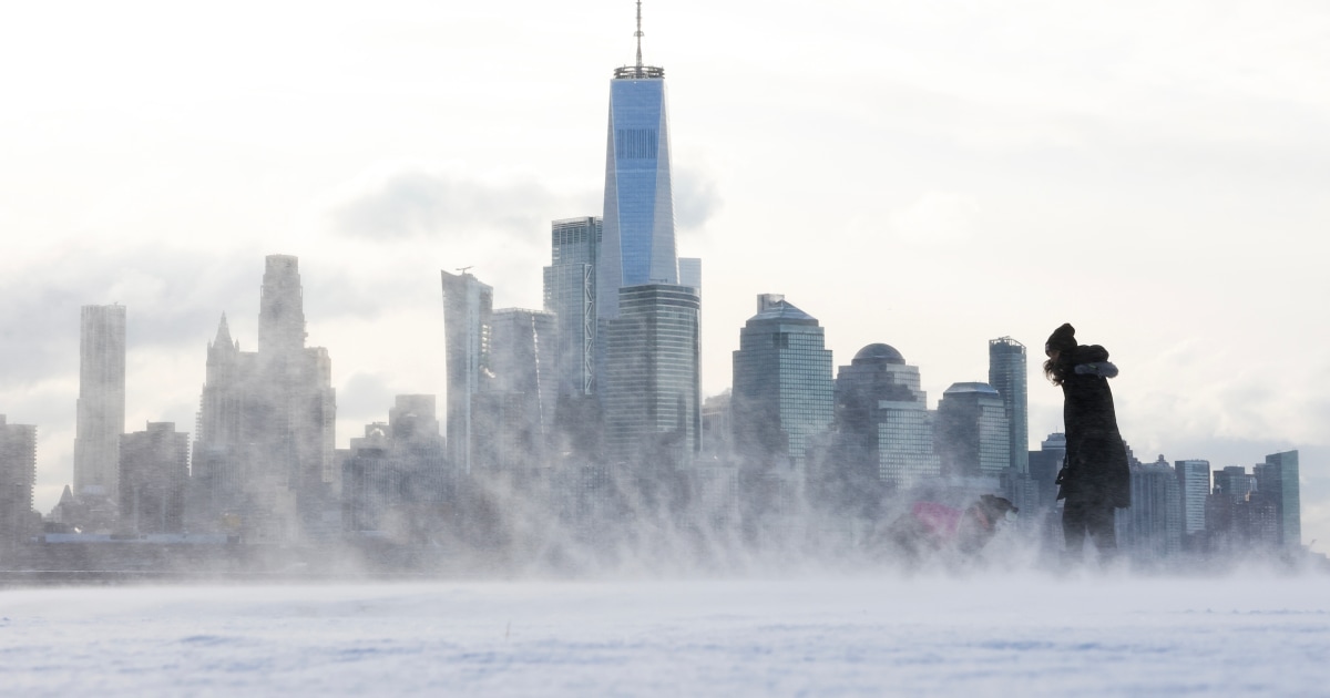
Some residents in the Northeast and mid-Atlantic regions woke up to a white Christmas Eve on Tuesday morning.
Around 20 million people were under winter weather alerts across the regions, which received upward of an inch of snow in a weather system that produced a covering of light to moderate snow before exiting the coast.
Some areas along the Interstate 95 corridor, such as Washington, D.C., and New York City, saw anywhere from a quick coating to an inch of snow Tuesday, while parts of northern New England got 2 to 6 inches of snow, and in some places even more. Earlier forecasts showed the mountains of Vermont, New Hampshire and Maine would be hit the hardest.
The National Weather Service is advising people who need to drive to do so slowly and safely as the snow may be slick.
Christmas Eve travel was briefly snarled as the Federal Aviation Administration issued a nationwide ground stop for all American Airlines flights Tuesday. The airline said a “vendor technology issue” was the reason for the ground stop, and not the weather.
But can residents in the area expect a white Christmas? It seems unlikely.
This snow only lasted hours before it moved out quickly, with conditions improving by Tuesday afternoon. The Christmas Day forecast for the Northeast is chilly but dry.
Frosty temperatures being seen in the Northeast are also expected to subside through the weekend.
“Much of the East Coast region will have a moderation trend in the cold temperatures going into Christmas Eve, as the arctic surface high moves offshore and milder air from the Ohio Valley advects eastward across the region,” the National Weather Service said.
Showers are raining down over the middle of the country, bringing thunderstorms and locally heavy rainfall that is moving across east Texas, southeast Oklahoma and Arkansas.
As of Tuesday afternoon, more than 2 inches of rain had already fallen on the area, causing small creeks, low-lying areas and some underpasses in the Dallas area to flood.
Rain was expected to end or at least taper off.
In the West, a storm system bringing heavy rain and mountain snow to the region continues across portions of California, Oregon and Washington.
Around 2 to 4 inches of rain is expected along the coast from the Pacific Northwest into central California, while the Sierra Nevada could see up to a foot of snow. Winter weather alerts remained in effect for the Sierra Nevada Mountains through Tuesday night.
Residents are advised to stay away from the coast, where “dangerous and life-threatening beach conditions” with coastal flooding has been seen, according to the weather service’s Bay Area field office.
The Santa Cruz Wharf collapsed Monday as a result of major storm swells, sending three people into the ocean and leaving them with minor injuries.
By Christmas Day, this storm will bring some snow to the Rocky Mountains as the next storm system moves into the West Coast from the Pacific, which will usher in more heavy rain, wind and mountain snow to the region Wednesday night into Thursday.


