Travel
Live updates: Cities close schools, warn drivers to stay off roads as winter storm brings snow, sleet and ice

A National Weather Service bulletin this afternoon about the weekend storm bringing misery to a wide swath of the United States details its wide-ranging impacts, from record snowfall to ice in the South.
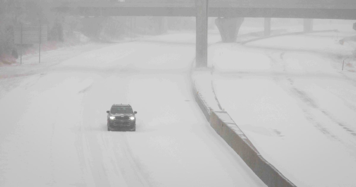
A low pressure system moving from west to east is responsible for the upheaval, including “significant snow and ice” from the central Plains to the mid-Atlantic, the weather service said today.
The bulletin summarizes the worst of it: “Heavy snowfall and wind gusts will create blizzard conditions in the Central Plains and freezing rain is forecast from central Kansas through the central Appalachians. Severe thunderstorms are expected this afternoon and evening from the Sabine River Valley into the lower Mississippi Valley.”
Blizzard conditions in the Central Plains will be punctuated by snow amounts of as much as 15 inches — the most in a decade, the weather service said. Dangerous ice accumulations are possible from Kansas to the mid-South, it said.
The storm should reach the East Coast overnight, with “major impacts” for mid-Atlantic communities starting in the morning, the weather service said.
It is being chased by an Arctic cold wave that is expected to plunge “feels like” temperatures in central and north Texas into the teens and the single digits early in the morning.


